Skip to content
Χάρτης Πηγών Άνδρου
Καταχώρηση
Καταχώρηση Πηγής
English
Ελληνικά
(
Greek
)
Το όραμά μας
Οι στόχοι μας
Αξία & Ανάγκη
Ομάδα Έργου
Σημασία Πηγών
Χάρτης Πηγών Άνδρου
Καταχώρηση
Καταχώρηση Πηγής
English
Ελληνικά
(
Greek
)
Το όραμά μας
Οι στόχοι μας
Αξία & Ανάγκη
Ομάδα Έργου
Σημασία Πηγών
Terrain
Satellite
Light
Βρυσάρι
📝 Description
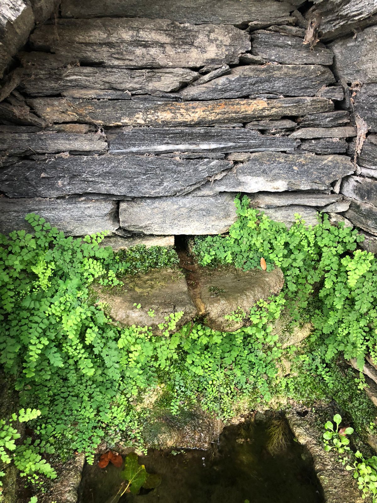
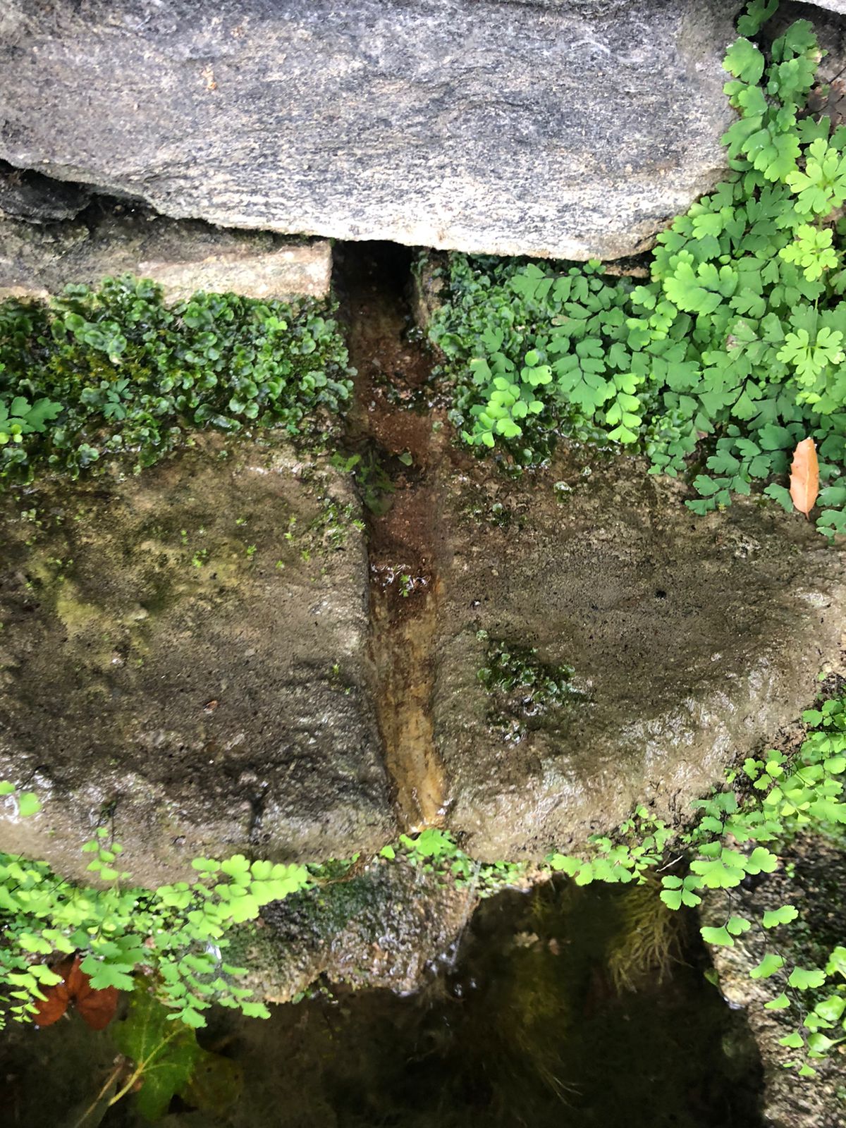
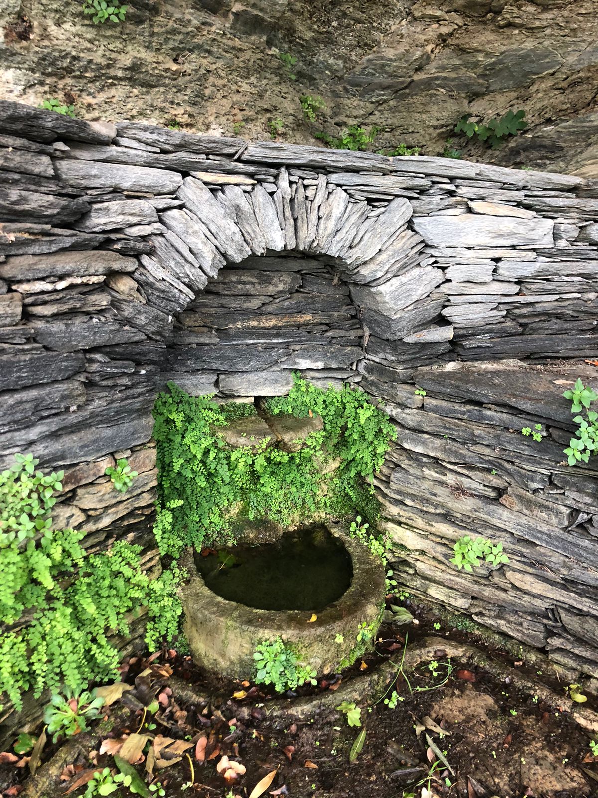
Πέτρινη με μικρή ποτίστρα, πάνω στο δρόμο στη στροφή μετά τη Φωφώ και πριν το ελικοδρόμιο. Πικροδάφνη, συκιά και πλατάνι – πριν γίνει ο δρόμος η πηγή αυτή έδινε νερό στα 2-3 σπίτια που βρίσκονται από κάτω.
📍 Location
Municipal Unit
Settlement
Λιβάδια
Place Name
📍 Coordinates
Latitude
37.82261°
Longitude
24.93101°
Altitude
90 m
🗺️ Google Maps Directions
⚡ Spring Characteristics
🏗️ Spring Type
✅ built/spring house
🏛️ Ownership
δημόσια
🧭 Orientation
W
🥾 Access
εύκολη
💧 Has water?
✅
Est. flow:
🌿 Environment
🌿 Land Cover (local)
δρόμος
🌍 Land Cover (broader)
☁️ Weather Conditions
Cloudy
📸 Photos
🎥 Video
📜 Historical Data & Bibliography
Karapiperi Name
Philippidis Name
HAGS
📸 Spring Measurements
Δεν υπάρχουν καταχωρημένες μετρήσεις για αυτή την πηγή.