Skip to content
Χάρτης Πηγών Άνδρου
Καταχώρηση
Καταχώρηση Πηγής
English
Ελληνικά
(
Greek
)
Το όραμά μας
Οι στόχοι μας
Αξία & Ανάγκη
Ομάδα Έργου
Σημασία Πηγών
Χάρτης Πηγών Άνδρου
Καταχώρηση
Καταχώρηση Πηγής
English
Ελληνικά
(
Greek
)
Το όραμά μας
Οι στόχοι μας
Αξία & Ανάγκη
Ομάδα Έργου
Σημασία Πηγών
Terrain
Satellite
Light
Μούση
📝 Description
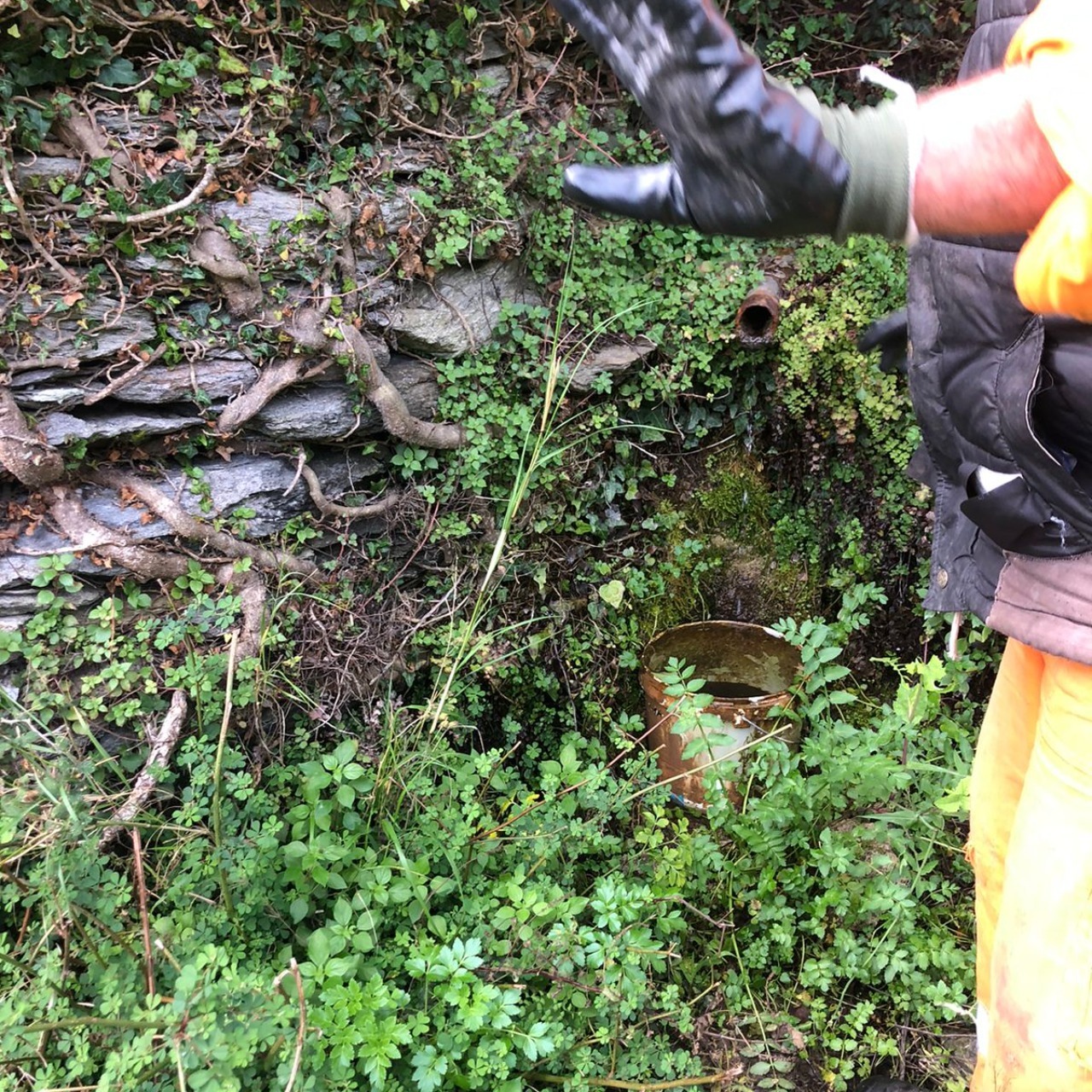
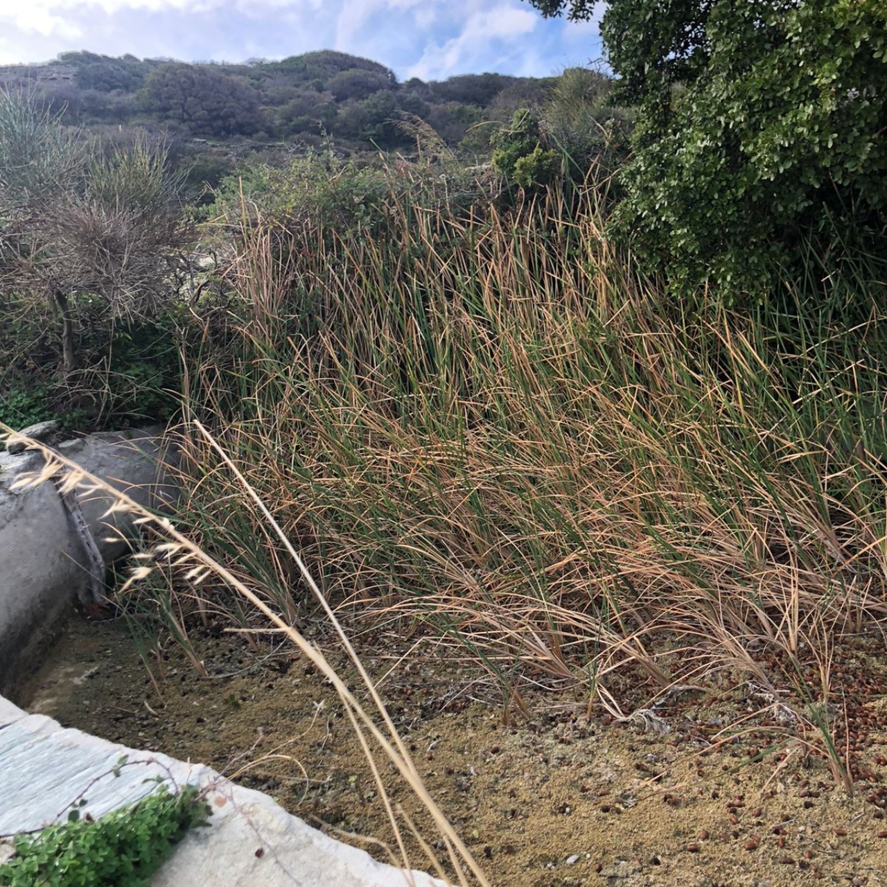
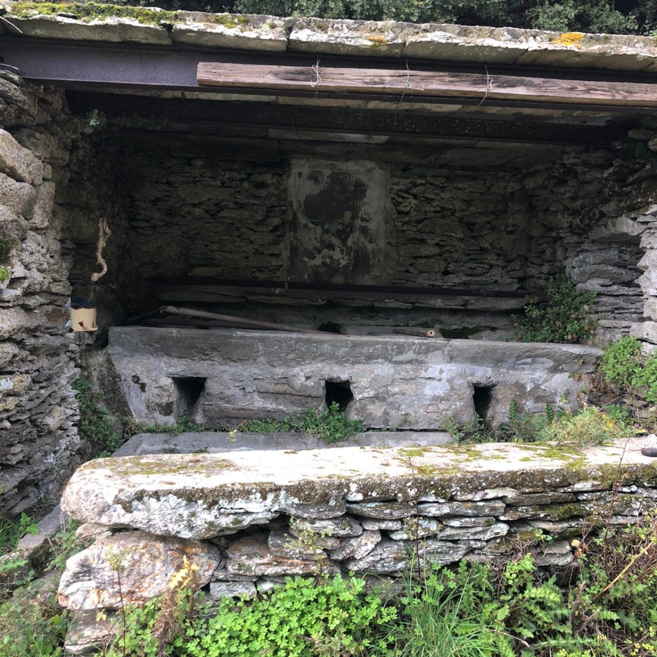
Πάνω στο μονοπάτι 3 κοντά στη διασταύρωση με το μονοπάτι για το κάστρο, χτισμένη με 3 πλύστρες, το νερό έβγαινε από ένα σωλήνα πιο δίπλα, η χαβούζα είναι πιο κάτω
📍 Location
Municipal Unit
Settlement
Κοχύλου
Place Name
Μούση
📍 Coordinates
Latitude
37.7959580°
Longitude
24.9440584°
Altitude
403 m
🗺️ Google Maps Directions
⚡ Spring Characteristics
🏗️ Spring Type
✅ built/spring house
✅ cistern
✅ washing basin
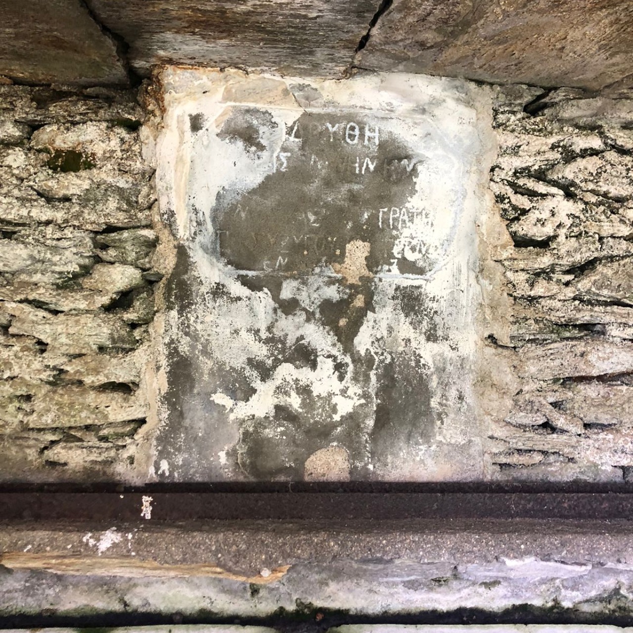
✅ inscription
🏛️ Ownership
δημόσια
🧭 Orientation
NE
🥾 Access
εύκολη
💧 Has water?
✅
Est. flow:
🌿 Environment
🌿 Land Cover (local)
βοσκότοπος
🌍 Land Cover (broader)
☁️ Weather Conditions
sunny with a few clouds
📸 Photos
🎥 Video
📜 Historical Data & Bibliography
Karapiperi Name
Philippidis Name
HAGS
📸 Spring Measurements
Δεν υπάρχουν καταχωρημένες μετρήσεις για αυτή την πηγή.